09. März 2022
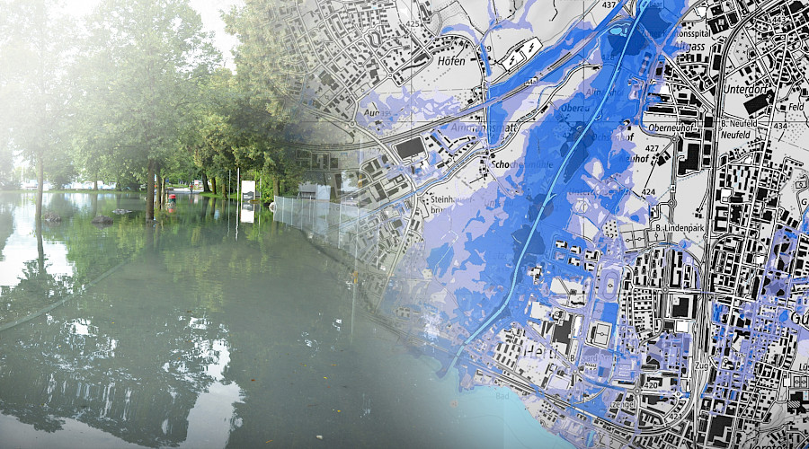
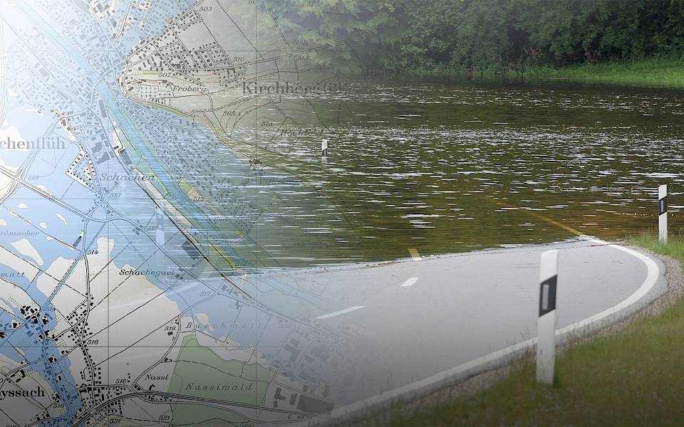
geo7 hat eine Gefährdungskarte Hochwasser über die ganze Schweiz realisiert. Für alle Fliessgewässer wurden Überflutungsbereiche für drei verschiedene Ereignisszenarien nach einheitlicher Methodik modelliert. Das neue Produkt stellt die optimale Ergänzung zur Gefährdungskarte Oberflächenabfluss dar und kann ab sofort bei geo7 bezogen werden.
Kompletter Eintrag
22. Februar 2022
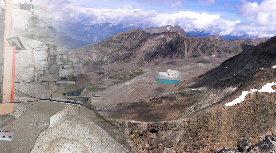
Die Wildbachprozesse am Fellbach (Gemeinde Saas-Balen, VS) sind komplex. Für das Prozessverständnis und die Massnahmenplanung wurden physikalische Modellversuche durchgeführt. Ein Film veranschaulicht die komplexe Ausgangslage und den Weg zur Lösungsfindung.
Kompletter Eintrag
13. Dezember 2021
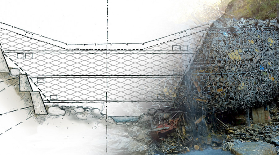
Debris flow and hillslope debris flow protection nets have only been available on the market in Switzerland for a few years and complement the range of possible measures for integral protection against natural hazards. The practical guide provides an overview of the state of the art concerning debris flows and hillslope debris flow protection nets in Switzerland.
Kompletter Eintrag